up the West side: GWB to Bear Mt |
||||||||||||||||||||
| <<< Prev |
GWB to Bear Mt Bridge Loop |
|||||||||||||||||||
|
|
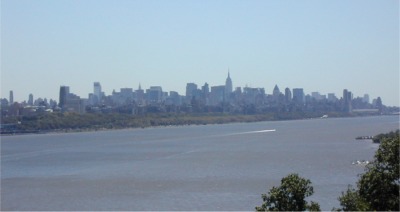
view from the New Jersey end of the George Washington Bridge |
|||||||||||||||||||
| Tappan Zee Bridge -- from Peirmont | 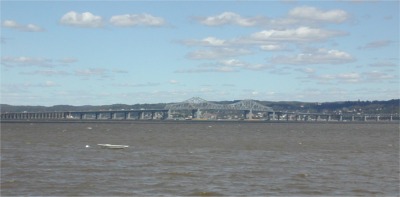 |
|||||||||||||||||||
|
|
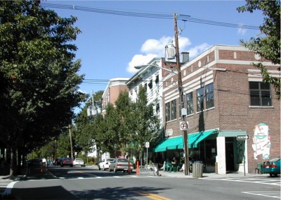
food stop at Nyack | |||||||||||||||||||
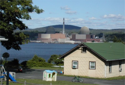
looking across the river to Indian Point
|
 |
|||||||||||||||||||
|
|
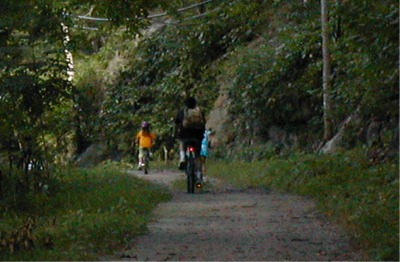
riding on the path around the end of Dunderberg Mt -- between Route 9W and the Hudson River | |||||||||||||||||||
| Iona Island marsh, with Anthony's Nose behind -- from the "Dunderberg bypass path" | 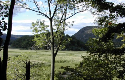 |
|||||||||||||||||||
| <<< Prev |
back to Top | Report | Map |
|||||||||||||||||||
|
||||||||||||||||||||